Detailed 3D model
Surveying with RealityCapture
Detailed 3D survey of a large historical building by UAV 365.
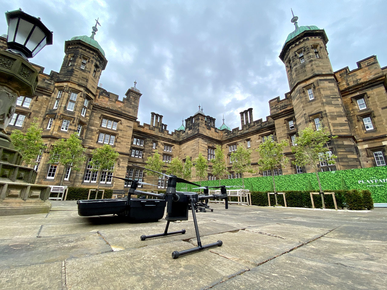
Donaldson’s school in Edinburgh from 1850 was recently 3D scanned by UAV 365 to provide as-built records for the new residents of the Playfair at Donaldson’s.
Surveying the data
The aerial survey was carried out using DJI Matrice 210 V2 with a Zenmuse X7 sensor equipped with a 24mm lens.
To successfully survey a building of this size, extensive pre-flight planning and engagement were mandatory. Detailed flight planning ensured that all angles of the building were captured with a sufficient overlap of images.
The surveying took 2 days in total, with the flying drone for 5.5 hours in total. During the first day 90% of the building was captured. RealityCapture gave them a quick preview of the 3D model so they could analyze it and plan the final flight for the second operation. That day was primarily focused on the angles that required additional capture for more detail. Horizontal flights were planned with a flight control application Hammer.
An overflight was also carried out using the DJI Phantom 4 RTK drone prior to the main mission. This provided a supplementary dataset to measure geolocation data.
Processing the data
The drone footage was processed with RealityCapture software.
“Use of Reality Capture allowed the stunning architecture and detail of the building to be displayed in high resolution. Combining this high detail with high location accuracy allows for detailed inspection on a technical level.”
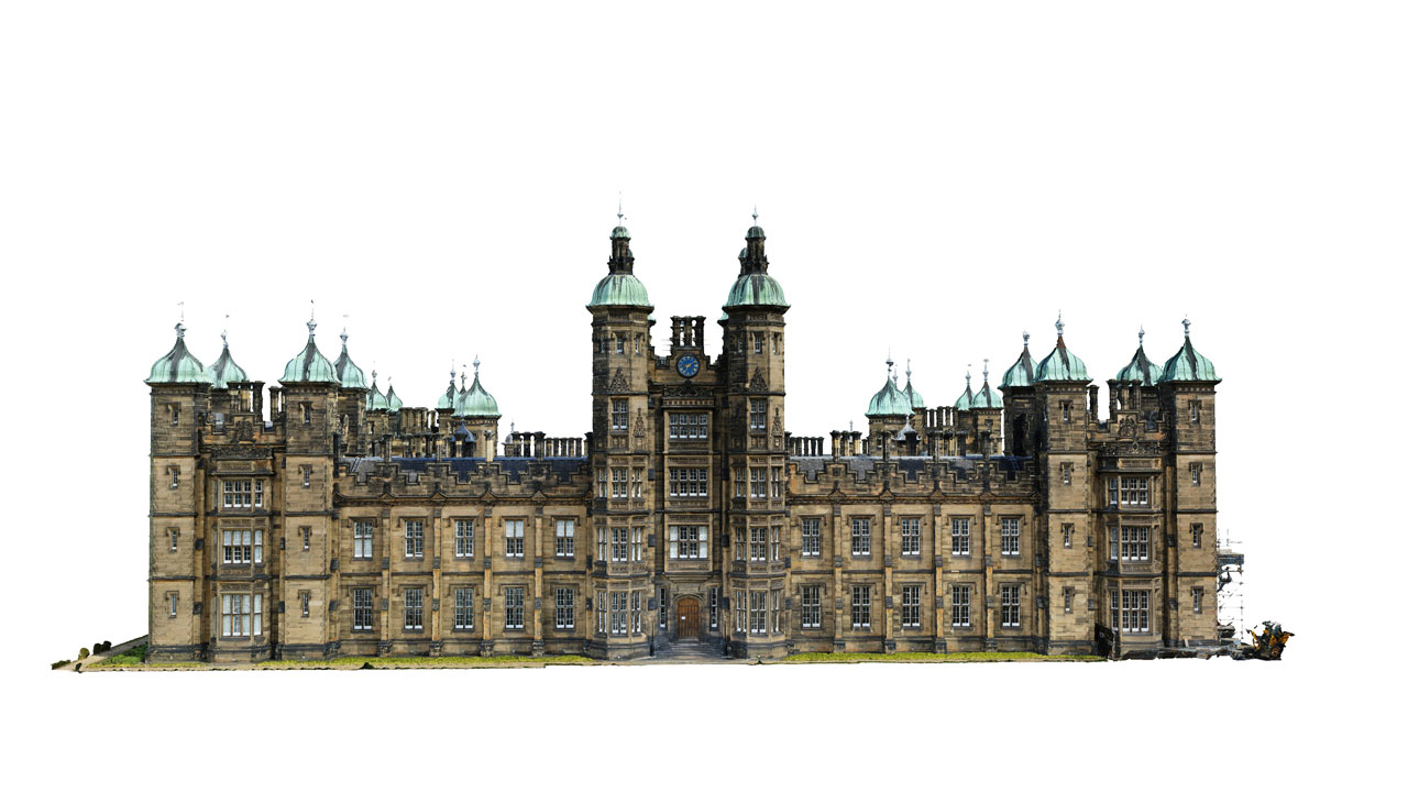
You can explore this model also on Sketchfab. You can also explore a very detailed crop of the mail model which shows the details of the building, see the text carved into the stone above the main door.