RealityCapture. Create 3D maps and models from drone images. Fast. Accurate. Simple.
RealityCapture 1.2 Tarasque
The newest surveying feature additions that come with RealityCapture 1.2 Tarasque, including 3D cross sections, image mosaicing, mosaic editing, contours, and measurements. All on a drone mapping project that would cost around 4$.
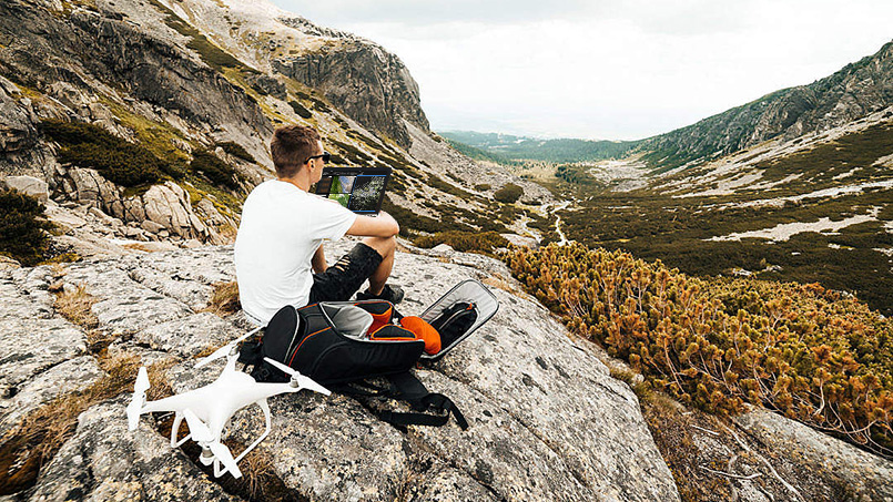
Take advantage of on-site processing
Inspect your data directly in the field and add missing photos. Leave the job site with ready data. Process 3D models from 400 photos on a standard laptop in 10 minutes. RealityCapture’s low hardware requirements allow you to check your data anywhere. Direct support of PPK/RTK flight logs dramatically reduce the users work directly in the field and post-processing time in RealityCapture.
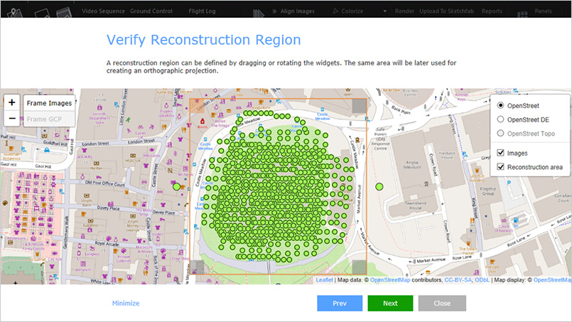
Map wizard
One-click virtual assistant in a creation of geo-referenced maps and/or models. It is an easy and intuitive tool enabling you to have end-to-end results in one place. RealityCapture also allows you to combine multiple coordinate system in one project.
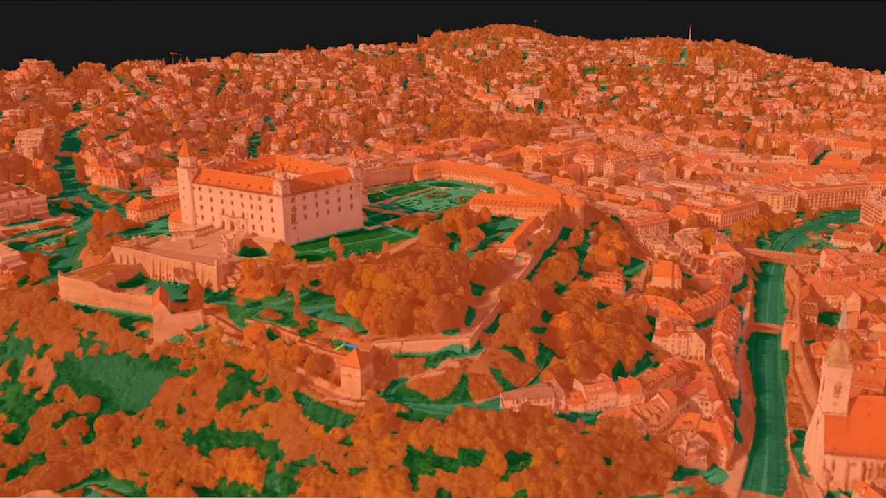
AI classify tool
Powerful AI classify tool RealityCapture can distinguish bare ground from other objects and generate digital terrain models. In addition to the automatic AI classify users have the option to edit the classification by assigning the classes manually.
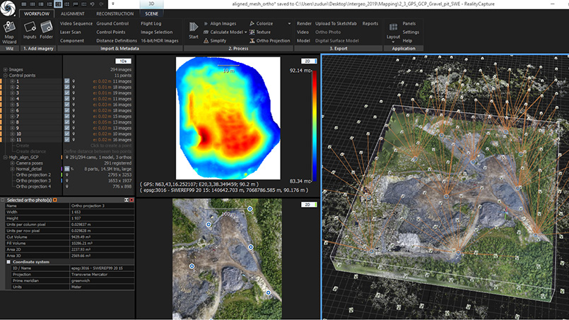
Available exports
- Full-color point clouds
- 3D textured meshes
- Level of Detail (LOD) models
- Georeferenced Maps
- Orthographic Projections
- DSMs, DTMs
- Map & Quality Reports
Export supports all standard formats.